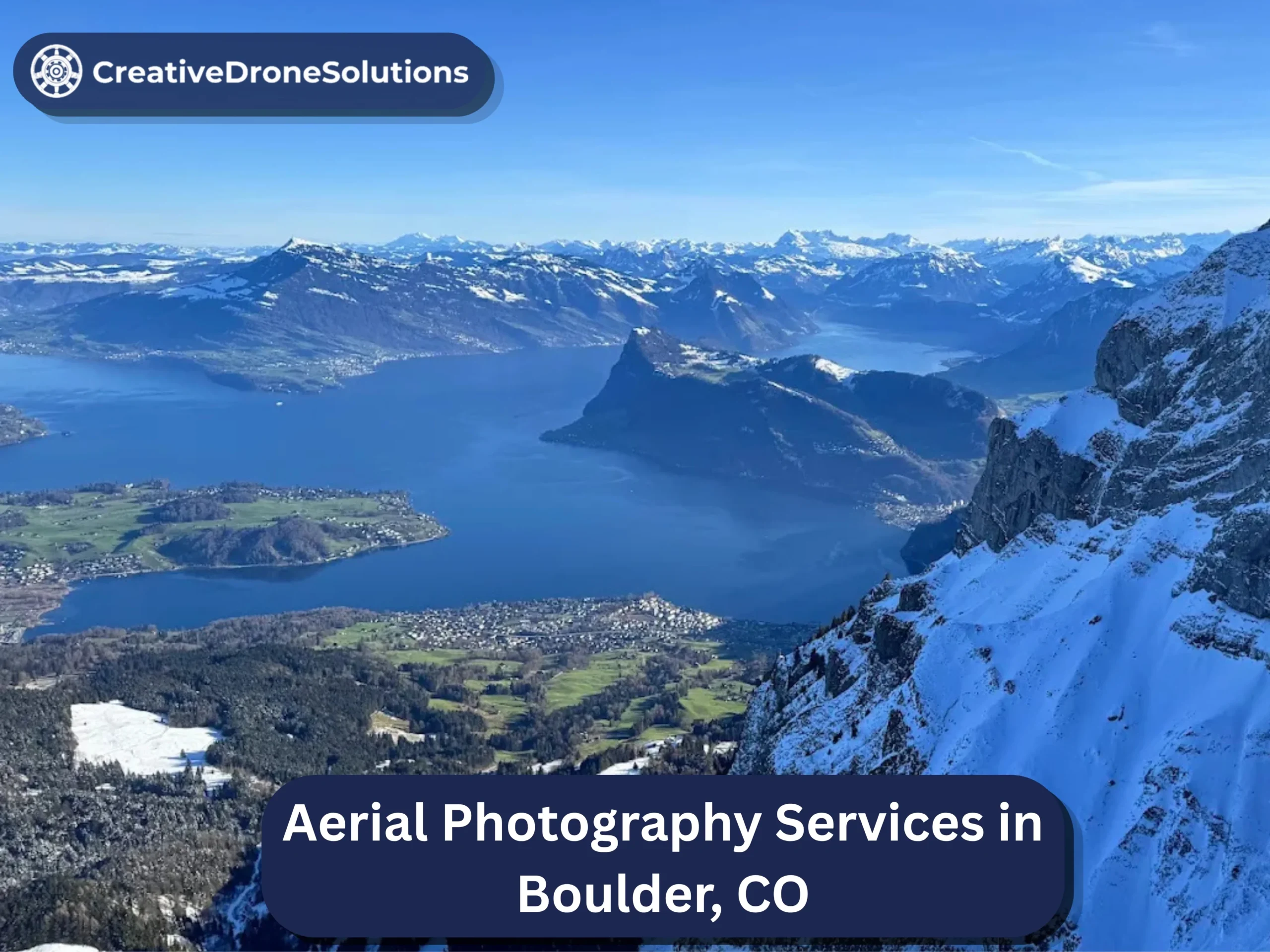
The first photo on a real estate listing does most of the work of selling the property. Buyers scroll fast, and the image at the top of the gallery is what decides whether they click into the listing or keep moving. For a growing share of listings, especially ones where the lot, the view, or the setting is part of the value, that lead image is now an aerial. A well-composed drone photo shows a buyer everything a ground camera cannot: the size of the parcel, the shape of the yard, the relationship to the street, the mountains behind the house, the pool tucked into the corner they would never see from the sidewalk.
But hiring the right person to shoot those images is not a matter of finding “someone with a drone.” It is the difference between an aerial that lifts your listing and one that quietly hurts it, because a bad drone photo, tilted, harshly lit, badly composed, signals amateur marketing in exactly the moment a buyer is judging you. This guide walks through exactly how to choose the best aerial photographer for real estate listings: the credentials that are legally required, what separates a strong stills portfolio from a weak one, the specific shots your listing actually needs, what file formats and resolution to expect, when to book, and the pricing dynamics that predict whether a quote is honest.
Why Aerial Photography Is Doing More Work Than It Used To
A decade ago, an aerial photo on a listing was a novelty. Today it is close to standard for many higher-value homes, and for a specific reason: buyers now research and short-list properties online before they ever contact an agent, and that research relies almost entirely on images. Aerials solve a specific problem in that process. They answer the questions a buyer has after looking at the interior photos, questions the ground shots cannot address at all.
How large is the lot? What does the yard actually look like? Is the house on a busy road or a quiet cul-de-sac? What is the view? How close are the mountains, the water, the park, the neighbors’ fences? These are the questions that decide whether a buyer requests a showing, and they are the ones a drone image answers in a single frame.
This is why aerial stills have become close to non-negotiable for luxury listings, view properties, homes on larger lots, and any listing where location is a real part of the pitch. For a small interior condo with no view or land, aerials add less; for anything else, they earn their place in the gallery.
Aerial Photography Is Not the Same as Aerial Videography
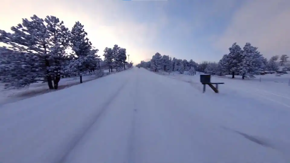
Worth clarifying quickly, because clients sometimes hire the wrong thing. Drone videography produces moving footage: sweeping reveals, orbits, cinematic sequences edited into a listing video. Aerial photography, or drone photography, produces stills: composed, high-resolution images that live in the MLS gallery, on portals, in brochures, and on printed materials.
Both have a place, and many strong listings use both. But they are different disciplines. A great videographer is not automatically a strong stills photographer, and vice versa. The best photographers for real estate listings understand that the still image is not a frame grabbed from a video; it is composed, exposed, and processed differently, and it is judged differently by the viewer. When you are hiring, make sure the person you are hiring has a genuine stills portfolio, not just video reels with a screenshot pulled out.
How to Choose the Best Aerial Photographer for Real Estate: The Vetting Framework
Work through these in order. Each layer surfaces a different kind of problem.
Look at Real Estate Stills Specifically
The most useful signal is a portfolio full of finished listing photos in a property class similar to yours. A luxury estate on acreage requires different framing than a mid-market single-family home on a suburban lot, which requires different framing than a condo in a mixed-use building. If a photographer’s site shows sunsets over mountains and no actual houses, they may be a talented outdoor photographer and still not the right hire for a listing.
Ask specifically to see two or three complete image sets from real listings, not just the one hero shot from each. A full delivered set tells you about consistency: whether the third-best photo is still good, whether every image is level, whether the exposure and color match across the set.
Match the Style to the Property
Real estate aerials come in a few distinct styles. Some photographers shoot bright, clean, and slightly wide, aiming for a straightforward, information-rich look that reads well as a lead image. Others shoot more dramatic and stylized, favoring golden-hour light, moodier color, and tighter framing that leans cinematic. Neither is objectively better, but one is probably right for your listing.
A luxury property that leans on lifestyle marketing may benefit from the moodier, more dramatic look. A family home in a suburban neighborhood generally benefits from the clean and clear approach that answers a buyer’s questions quickly. Pick the photographer whose stills already look like what you want your listing to feel like.
Verify the Credentials That Are Actually Required
In the United States, anyone flying a drone for any commercial purpose, including photographing a property for a listing, is required by the FAA to hold a Part 107 Remote Pilot Certificate. This is federal law, not a nice-to-have. Ask any photographer you are considering whether they hold Part 107, and expect a confident yes. Any hesitation is your answer.
Insurance is the second non-negotiable. A legitimate drone photography business carries liability coverage, so if the drone hits something, or someone, the damage is covered. Confirm this exists and ask whether they can provide a certificate of insurance if your listing broker or the property owner requires it.
For a fuller breakdown of these credentials, including how airspace authorization works and why local land rules matter more than most people think, it is worth understanding the broader picture of what to check before hiring any drone service. For our purposes here, treat Part 107 plus insurance as the entry-level filter, and move on to the stills-specific evaluation once that filter is passed.
Ask About Local Airspace and Land Knowledge
A legal, insured pilot who does not know the ground and airspace where your listing sits is still going to have problems. Controlled airspace near airports requires FAA authorization through the LAANC system, and much of the country sits under some form of controlled shelf.
Certain land is closed to drones outright: national parks, wilderness areas, and many city and county open-space systems prohibit drone flight entirely. A photographer who does not know which ground near your listing is off limits will either promise you shots they cannot legally deliver or discover the problem on the shoot day. Ask directly: are there any airspace or land restrictions where I want to shoot, and how do you handle them? The specificity of the answer tells you what you need to know.
The Aerial Shots a Real Estate Listing Actually Needs
Not every aerial image serves the same purpose in a gallery. A strong photographer captures a small vocabulary of shot types, and understanding that vocabulary helps you know what you are paying for.
The top-down site view. A near-vertical shot looking straight down at the property, reading almost like a site map. This one image communicates the lot size, the layout, the driveway, the outbuildings, and how the parcel is shaped, in a way no ground photo can.
The oblique hero. A dramatic angled view from altitude that captures the home in its setting, with the horizon, mountains, or skyline in the background. This is usually the lead image on the listing and the most memorable one in the gallery.
The elevation exterior. A moderate-height frontal or three-quarter view of the home, showing the facade with useful context. This bridges what a ground exterior shot and a full aerial each show.
The context frame. A pulled-back shot that places the property in its neighborhood, showing proximity to a park, a lake, a golf course, a school, or whatever amenity is part of the pitch. Especially valuable for buyers moving in from out of the area who cannot judge location by name alone.
The boundary shot. A composition that makes lot lines clear, useful for larger properties and land listings where the parcel itself is a major part of the value.
A strong drone photography services provider approaches a listing with this vocabulary in mind, planning the shot list before the flight rather than launching and hoping. Ask what shots they plan to capture for your specific property. A prepared answer signals experience.
What File Formats and Resolution Should You Expect?
This is one of the most useful practical questions to ask, and one many clients skip until they receive the delivered files and feel confused.
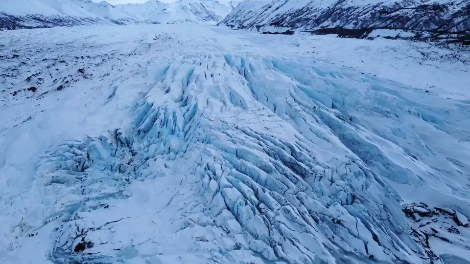
Resolution. Most current professional camera drones capture at 20 megapixels or higher on stills, which is more than enough resolution for MLS uploads, portal galleries, and standard print marketing. For a listing gallery, this level of detail also allows for cropping and modest re-composition in post without visible quality loss.
File formats. Reputable aerial photographers typically shoot RAW files during capture, which preserve the maximum information for editing, and then deliver finished, edited images as JPEGs. The JPEGs are what you upload to the MLS and portals; RAW files are working files most photographers do not deliver by default unless specifically requested, since they require specialized software to open and edit. If you want the RAW files, ask about it up front, since some photographers charge extra for delivery.
Sizing. Delivered images should come in a size suitable for both web (where MLS platforms often cap image dimensions) and print, if you plan to use them in flyers or brochures. Ask whether the photographer delivers a single high-resolution version, multiple sizes, or both.
Color and edit. Professional aerials get color correction and modest editing in post, aligning exposure and white balance so the images look consistent as a set. Ask whether editing is included in the base rate or an add-on, and confirm the delivery format before you book.
Getting these details in writing prevents the awkward moment where you expected print-ready TIFFs and received web-sized JPEGs, or vice versa.
Can Aerial Photography Be Used for Construction Site Progress Tracking?
Yes, and it is one of the fastest-growing commercial uses of drone photography. Regular aerial capture of a construction site, on a defined cadence, weekly, biweekly, or monthly, produces a visual record of progress over time that is useful for several stakeholders at once.
For owners and investors, dated aerial images become a straightforward progress report. For general contractors, they document milestones and support planning conversations with subs and vendors. For marketing teams, they build a library of imagery that supports the eventual sale or lease of the finished building. And for legal or insurance purposes, dated visual documentation of a job site can be genuinely valuable if issues later arise.
Look for a photographer comfortable with recurring, consistently framed captures, so the progression is comparable from one visit to the next. Construction sites also frequently require proof of insurance before allowing flights, which loops back to the credentials conversation above.
If your interest in aerial photography is primarily for a construction project rather than a listing, most of the vetting framework above still applies, but the priorities shift from creative style to reliability, scheduling consistency, and clean documentation.
How Far in Advance Should You Book an Aerial Photography Session?
Booking timelines matter more than most sellers and agents expect. As a general rule, book as soon as the listing date is on the calendar.
For a standard residential listing, one to two weeks of lead time is a reasonable target and gives you room to schedule around weather. For higher-end listings, or shoots that involve twilight timing (a specialty specifically because it demands narrow scheduling windows around sunset), two to three weeks of lead time is safer. During peak spring and summer listing season, when many properties enter the market at once and demand for drone work spikes, book earlier still, three to four weeks out gives you meaningful flexibility.
Time of day matters as much as the calendar. Aerial photography works best in soft, low-angle light: mid-to-late morning, mid-to-late afternoon, or the golden hour just before sunset. Harsh midday light flattens everything and produces the least flattering exteriors. A professional will coordinate the shoot time around the property’s orientation and the sun’s position on the day, so schedule with that flexibility in mind rather than dictating a fixed hour.
Weather adds a real variable. Aerial photography cannot happen in rain, snow, or high wind, so a professional builds a weather window into the plan and communicates openly if conditions require rescheduling. Booking with enough lead time is largely about preserving that flexibility, so a windy day does not blow up your listing launch.
What Does Aerial Photography for Real Estate Cost?
Pricing varies by market, property size, and the scope of the shoot. A few dynamics hold nearly everywhere.
What drives price up: the number of images delivered, higher-end editing and retouching, twilight or golden-hour scheduling (which limits the photographer’s daily throughput), added deliverables like a short video sequence or a floor plan alongside the stills, travel time to the location, and rush turnaround.
What “cheap” usually means: a quote dramatically below every other one you receive is not a bargain, it is a signal. In this category, it typically indicates an uncertified or uninsured operator, older or less capable equipment, minimal or no post-processing on the delivered files, or a business that will not be there when you ask for revisions. The gap between an amateur and a professional shows up immediately on the listing, and it costs more than the money saved.
Package vs. single-image pricing: most listing photographers price by session, delivering a set number of edited images from one shoot day, rather than by individual image. This is generally the better model for a real estate client, since the goal is a coherent gallery rather than a single hero shot.
Frame the cost against the listing rather than against the invoice. Professional aerial photography is usually a small fraction of the marketing budget for a home, and it is one of the most visible pieces of that marketing. Saving here is the exact wrong place.
Questions to Ask Before You Book
A short call surfaces most of what a website cannot. Ask directly:
- Are you FAA Part 107 certified, and do you carry liability insurance?
- Can I see two or three complete image sets from finished listings?
- What airspace or land considerations apply at my property, and how do you handle them?
- What shots will you plan for my specific listing?
- What file formats, resolution, and sizes will I receive?
- Is editing included in the base rate, or an add-on?
- What time of day do you recommend for my property, and why?
- What is your policy if weather forces a reschedule?
- How many images are included, and what does the turnaround look like?
- Are RAW files available if I request them, and at what cost?
Confident, specific answers signal a professional. Vague or defensive answers signal a company that will hand you a surprise later.
Red Flags Worth Walking Away From
- Cannot or will not confirm Part 107 certification.
- No insurance, or evasive answers about it.
- Portfolio of scenic landscapes but no real listings.
- No finished edited image sets to show, only single hero shots.
- Promises shots in locations that are actually closed to drones.
- Vague pricing with no clarity on image count, editing, and formats.
- Slow, careless communication during booking.
- A quote significantly below the local market, for all the reasons above.
Local Ground and Conditions
Aerial photography for a listing is not just about the pilot and the drone. It is about the pilot, the drone, and the specific ground and light your property sits under. A photographer working the same region for years understands the light of the location, when the sun catches the west-facing rooms and when it does not, how the surrounding landscape looks in each season, and which conditions produce the most flattering images.
Higher-elevation environments in particular reward local expertise. Thinner air reduces a drone’s lift and shortens flight time, so an experienced high-altitude photographer plans tighter shot lists and carries more batteries than they would need at sea level. Mountain winds are unpredictable and can ground a shoot with little warning, so building weather flexibility into the schedule matters. And in scenic areas, knowing which land is legally open to drones and which is not saves you from paying for shots the photographer cannot actually deliver. A company offering aerial photography services in Boulder that works this ground routinely handles these variables as part of the job rather than surprises on the day.
Conclusion: Hire the Photographer Whose Stills Already Look Like Your Listing
The best aerial photographer for real estate is the one whose finished image sets already resemble what you want your listing to look like, who is certified and insured without a second thought, who understands the ground and airspace at your property, who can tell you exactly which shots to plan and in what format they will arrive, and who quotes the work honestly. Get those right and the images take care of themselves.
If your listing is in the Boulder or Front Range area, Creative Drone Solutions is a Part 107 certified, insured operation that shoots professional drone photography for residential, commercial, and promotional work, RAW capture, high-resolution delivery, and stills exposed for the region’s harsh, high-contrast light. They handle airspace authorization and local land restrictions before the flight so nothing gets in the way of the shoot. Explore their full aerial photography services in Boulder, or call (720) 534-6877 to talk through your listing and get a straight quote. Book the crew whose finished images already look the way your listing should.
FAQs
How do I choose the best aerial photographer for real estate listings?
Look for a portfolio of finished listing image sets in a property class similar to yours, confirm FAA Part 107 certification and liability insurance, check that they understand local airspace and land rules, ask what specific shots they will plan for your listing, and confirm file formats, resolution, and editing scope in writing.
What licenses or certifications should a drone photographer have?
In the United States, any drone photographer working commercially, which includes shooting for a real estate listing, must hold an FAA Part 107 Remote Pilot Certificate. They should also carry liability insurance and be able to provide a certificate on request if a property owner or venue requires one.
What file formats and resolution do aerial photographers usually deliver?
Most professional aerial photographers shoot RAW files during capture and deliver finished edited images as JPEGs at high resolution, typically 20 megapixels or higher, suitable for both MLS and portal upload and standard print marketing. RAW files are usually not delivered by default and may cost extra to request.
How far in advance should I book an aerial photography session?
One to two weeks is a reasonable target for a standard listing, and two to three weeks is safer for higher-end shoots or twilight timing. During peak listing season, three to four weeks of lead time gives you meaningful flexibility. Booking early preserves room to reschedule around weather.
Can aerial photography be used for construction site progress tracking?
Yes. Regular aerial capture on a set cadence produces a visual record of construction progress for owners, contractors, marketers, and legal or insurance purposes. Look for a photographer comfortable with recurring, consistently framed captures so the progression is comparable across visits.
What shots should a real estate aerial photographer capture?
A useful set includes a top-down site view, an oblique hero showing the property in its setting, an elevation exterior of the facade in context, a pulled-back context frame showing the neighborhood, and a boundary shot for larger lots where lot lines matter. A prepared photographer plans this shot list before flying.
How much does aerial photography for real estate cost?
Cost varies by market, image count, editing scope, twilight timing, added deliverables, travel, and turnaround. A quote significantly below the local market usually signals missing credentials, minimal editing, or an inexperienced operator. Judge cost against the marketing budget of the listing, since aerials are usually a modest fraction of it.
What time of day is best for aerial real estate photography?
Mid-to-late morning, mid-to-late afternoon, and golden hour before sunset produce the softest light and most flattering exteriors. Harsh midday sun flattens the image and washes out bright surfaces. A professional plans the shoot time around the property’s orientation and the sun’s position.